- Mokoa
- 12-04-2015, 12:45 AM
- Precious_b
- 12-04-2015, 12:55 AM
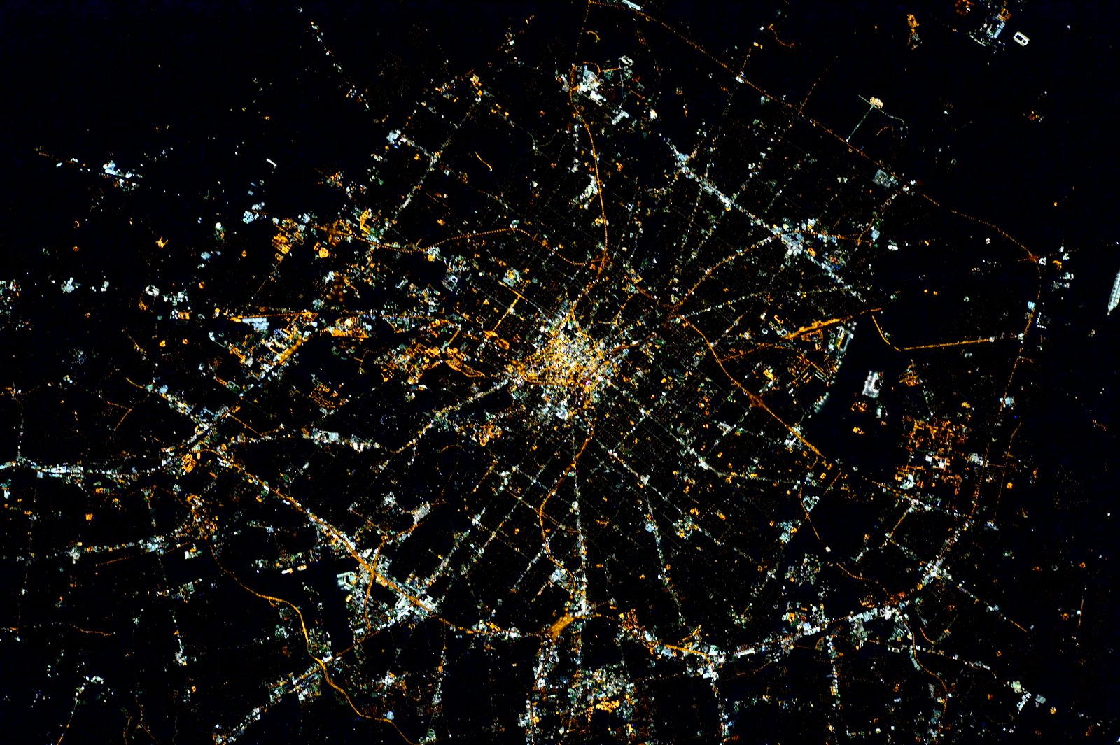
I've been trying to orient that picture in my mind to the roads.
- HUMP!
- 12-04-2015, 02:06 AM
Does rotating 120° CW do anything for you?
Current view has I-10/410 NW at 6 o'clock.
Current view has I-10/410 NW at 6 o'clock.
- blaktygre
- 12-04-2015, 06:38 AM

San Antonio and Austin
- Mokoa
- 12-05-2015, 12:10 AM
I've been trying to orient that picture in my mind to the roads. Originally Posted by Precious_bAt 9 o'clock is Loop 410/IH 35 on the northeast side. That line of lights that goes from there all the way to downtown is Austin Highway and Broadway. At near 7 o'clock is the Loop 410/San Pedro intersection. Just to the left is the airport and the Loop 410/US 281 intersection. At 6 o'clock is Loop410/IH 10 on the northwest side. The cluster of light right below that is the Medical Center. In between 1 and 2 o'clock that line of light that goes diagonally down from near 12 o'clock to 3 o'clock is Military Highway on the south side.
- KlassyKelliAnn
- 12-06-2015, 06:15 AM
Looks like a bug. Lol.
Very cool though.
Very cool though.
- babykins78
- 12-09-2015, 05:47 PM
That's hot!!!
- mwsatx
- 12-11-2015, 10:20 AM
The stars at night...are big and bright...
- Guest010619
- 12-26-2015, 05:23 AM
I can see where I first got laid.
- Marinina Jadore VIP
- 12-29-2015, 11:34 AM
looks like eyes nose mouth open..